



We are looking at another wet day before much cooler temperatures are on the way for Friday and this weekend.
We will see showers and storms today with a high of 80. And, then showers and storms tonight with a low of 46. Along with that much cooler temperature for tonight we will see winds coming in–they will start off from the southwest and then gust from the northwest at better than 25 miles per hour tonight.
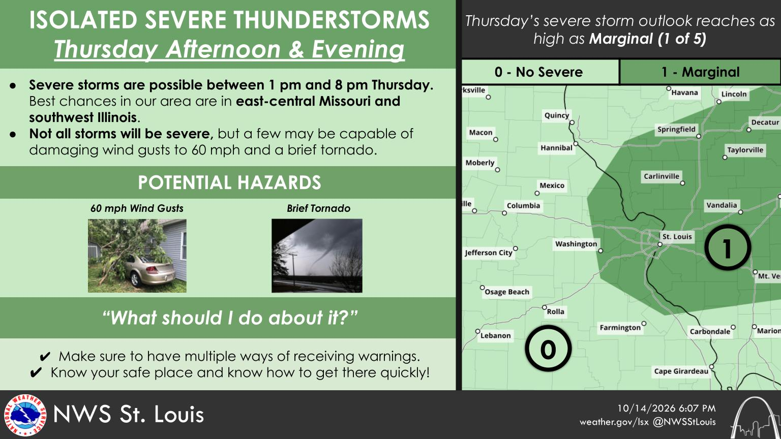
Meanwhile, there is the threat of a strong to severe storm this afternoon and tonight. In their latest weather briefing, the National Weather Service in St. Louis says that after non-severe showers and storms clear out this morning, scattered thunderstorms are expected re-develop during afternoon and continue into the evening. The NWS says that isolated strong to severe storms are possible, mainly between 2 pm and 6 pm today, over the region. They add the strong thunderstorms will be capable of producing damaging winds and what the NWS refers to as a “brief tornado.”
Meanwhile, much cooler temperatures are on the way for Friday and this weekend. On Friday, we’ll see breezy conditions with a high just in the upper 50’s.











Comments