In what would seem to be the wettest June in the history of Fayette County, more storms rolled thru the area on Tuesday night–bringing more heavy rains. The area saw heavy rains on both Tuesday morning and night, with the second round passing thru during the 6 pm and 7 pm hours. There have been mentions on social media of a funnel cloud in the Hagarstown areas, but there don’t seem to be any reports of any damage. And, no storm warnings were ever issued when the storms rolled thru Fayette County. Although there is a chance of showers and storms in the forecast on Thursday and Thursday night, it would seem that we are going to get a break from any major rain storms for a while. But, the extreme heat will be coming instead. Thursday we’ll see a high of 91 with heat index readings of 101. And, we are looking at highs in the mid-90s on both Friday and Saturday. All the metro east counties are under a Heat Advisory, but no Advisory is in place at this time for our area–although that well could change potentially later on today.
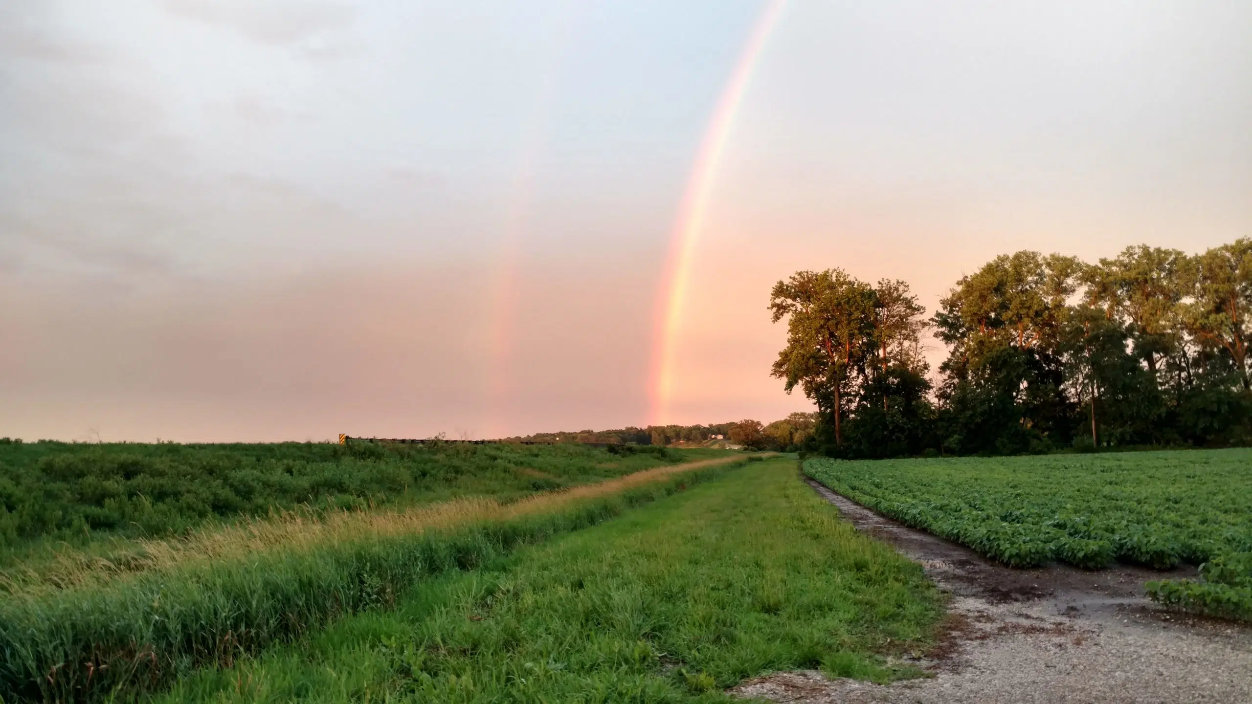
Pic—-A rainbow was clearly visible in Fayette County on Tuesday evening. This photo taken along U.S. Route 40, just west of Bluff City and looking to the east.