


It is going to be a bit of a rollercoaster with the weather over the next few days.
Today we are looking at sunny skies with a high of 52. Then, clear skies for tonight with a low of 34.
Meanwhile, we will warm up quite a bit on Friday with sunny skies and a high of 67. And, also mostly sunny skies and a high of 59 on Saturday.
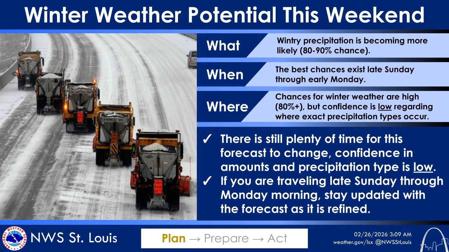
But, the weather will then change. Our forecast says at this time we will see a high just in the upper 30’s on Sunday with rain and snow in the afternoon. And, rain and snow is likely for Sunday night and into Monday with a low Sunday night of 25 and a high on Monday of 37.
The National Weather Service in St. Louis says after a few warmer days, a cold front will bring much colder air back to the region on Sunday. The NWS says that confidence is high in wintry precipitation Sunday into Monday, though the location of highest impacts and exact precip types depend on the depth and location of the cold air itself. The warm prefrontal air may knock down the impact, but the NWS says that’s not certain.
As of this time, The NWS has our area in the “transition zone,” which is their highest uncertainty. There would be more of a snow impact to our north and a higher potential for ice well to our south.


Comments